"A little gale will soon disperse that cloud and blow it to the source from whence it came. Thy very beams will dry those vapors up, for every cloud engenders not a storm."
William Shakespeare, King Henry the Sixth, Part III (Clarence act V, iii)
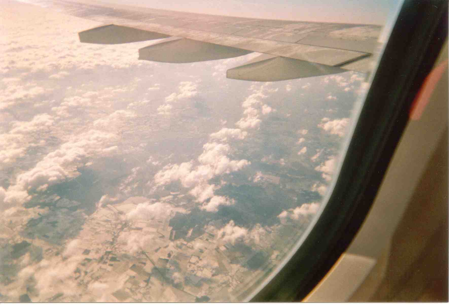 Leaving snow covered Western France - 2005 |
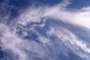
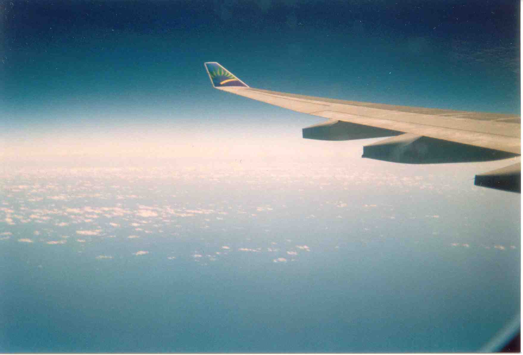
 Mid-Atlantic cloud formations - 2005 |
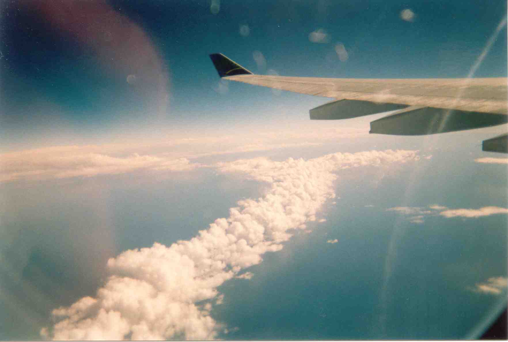
 Nearing the Caribbean - 2005 |
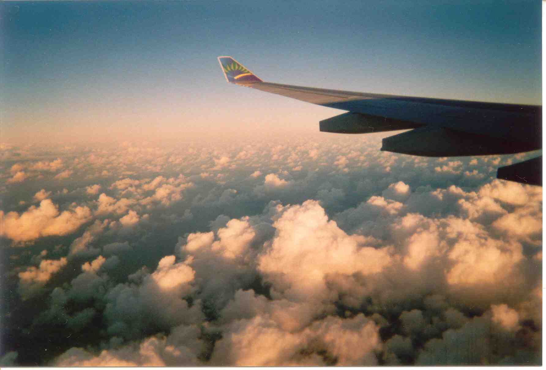 Flying over the North of the Martinique - 2005 |
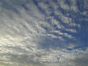
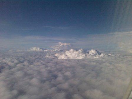
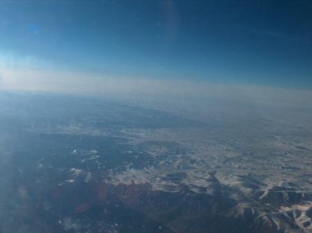 Over Northern China - 2007 |
 Chasing the sun back from Shanghai - 2007 |
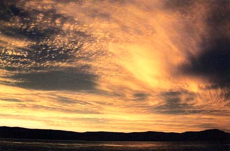
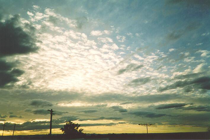
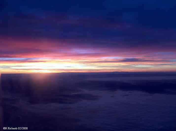 Sunset over Southern France - 2008 |
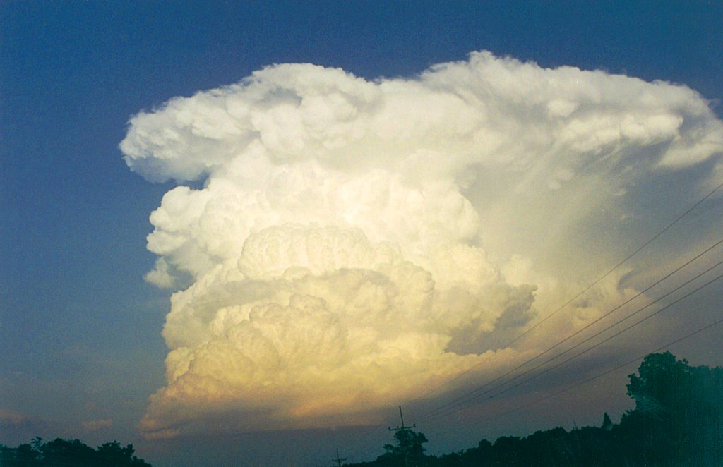
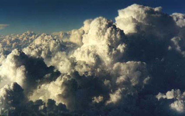
 Cumulonimbus over the French Alps - 2009 Cumulonimbus over the French Alps - 2009
|
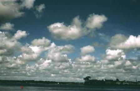
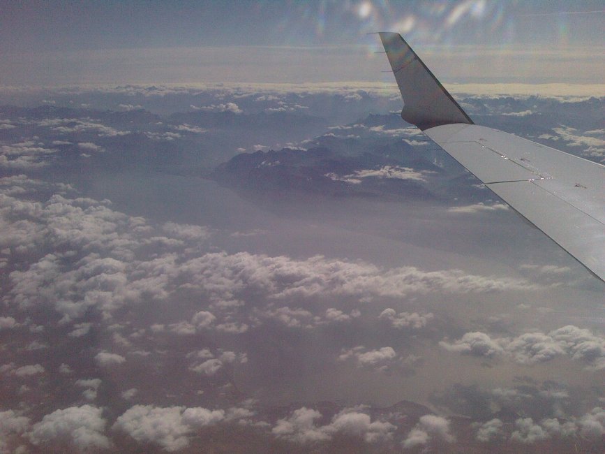 Over Lake Geneva France - 2009 Over Lake Geneva France - 2009
|
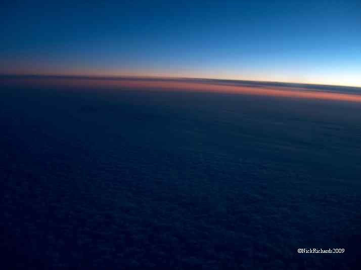
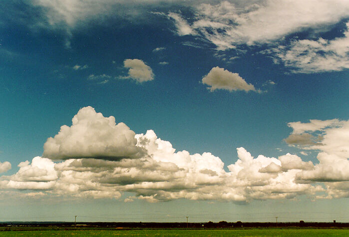
 Storm clouds over Lyons France- 2012 |
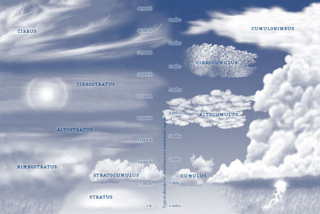
Cloud Identification
LOW
BASE CLOUDS WITH
LARGE VERTICAL EXTENT
Base Level
500 to ±18000 metres (1600 to ±60 000 ft)
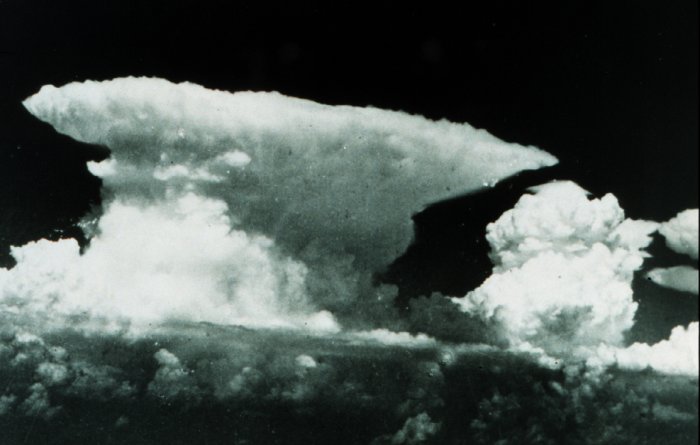
Supercell (Cumulonimbus)(Cb)
Undoubtedly, the king of the clouds and certainly the tallest of all clouds, rising to ± 60 000 ft (18 000m) the Supercell is generally associated with severe weather such as tornadoes, hail storms.... The Supercell is also called a mesocyclone if rotation is occurring within the thunderstorm cell.*
Cumulonimbus (Cb)
NB. *I had the chance to see both a Supercell and Cumulonimbus for myself when flying out of Dallas/Forth Worth in April 2003 after having spent the night in the airport because of a tornado.
Cumulonimbus Incus (Cb)
A Cumulonimbus shaped like an anvil is typically known as a thunderstorm. It's also known as Cumulonimbus Capillatus.
Cumulonimbus Calvus (Cb)
Cumulonimbus or large cumulus with basically no anvil although the tops may become striated.
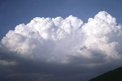
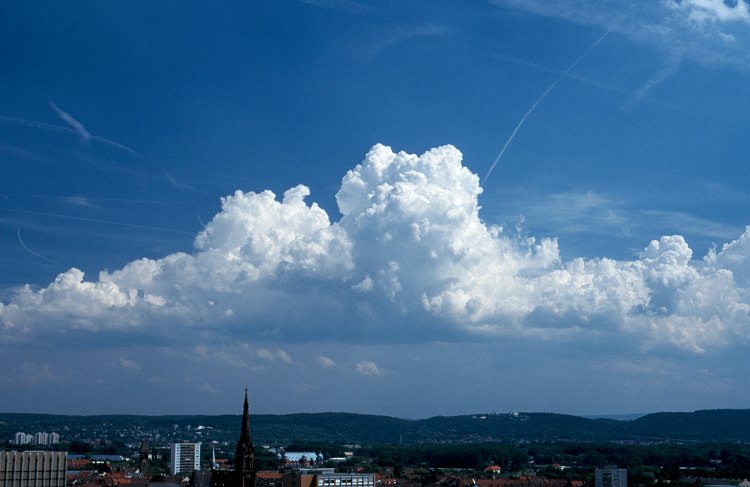
Cumulus Congestus (Cu con)
Cumulus clouds which are markedly sprouting and are often of great vertical extent with tops resembling a cauliflower. Their heights exceed the dimensions of their bases.
Cumulus Mediocris (Cu)
Cumulus clouds is of moderate vertical extent with the tops showing fairly small protuberances. The base is a similar in width to the cloud height.
Cumulus Humilis (Cu)
Cumulus clouds of only a slight vertical extent. They generally appear flattened.
LOW
BASE CLOUDS
Base Level
0 to 3000 metres (0 to 9800 ft)
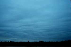
Stratocumulus (Sc)
Stratocumulus cloud form in layers sometimes hundreds of kilometres across and usually have a ragged upper surface while the base is relatively flat. The most common cloud type.
Nimbostratus (Ns)
The name derives from the Latin nimbus = rain, and stratus = spread out and as such Nimbostratus is identified as the rain producing cloud. Varying in thickness and layers mostly occurring in a widespread sheet, extensive layers of nimbus clouds arise through the slow uplift of moist air in a depression, typically at the advancing warm front.
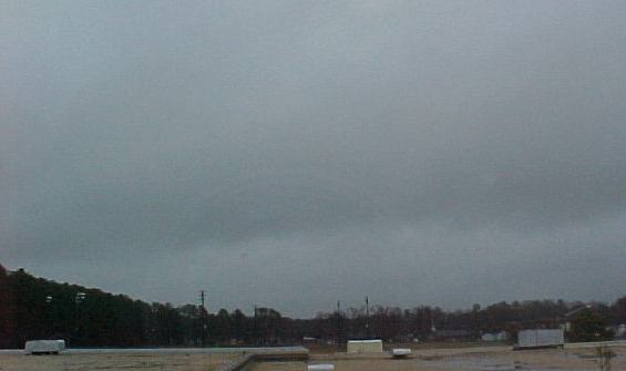
Stratus (S)
The lowest form of clouds, often appearing as an overcast deck but can be scattered patches. Individual cloud elements have very ill-defined edges. Stratus also manifests as fog.
MIDDLE
BASE (ALTO) CLOUDS
Base Level
3000 to 7000 metres (9800 to 23,000 ft)
Altocumulus (Ac)
Cumulus in the middle levels of the atmosphere associated with the lifting of a large air mass and instability.
Altostratus (As)
This cloud is found in the middle levels of the atmosphere and is always a sign of the presence of significant amounts of moisture in those layers. It is typically featureless, ranging from a thin, white veil of cloud through which the sun is clearly visible, to a dense grey mantle that may block out the sun completely.
HIGH
BASE CLOUDS
Base Level
Above 7000 metres (Above 23,000 ft)
Cirrocumulus (Cc)
High level clouds that appear as small rounded puffs arranged in rows or sheets.
Cirrus (Ci)
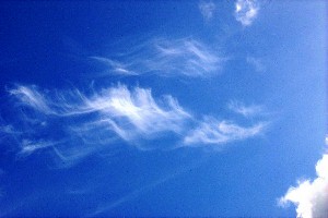
Composed of ice crystals in the form of delicate filaments, patches or bands.
Cirrostratus (Cs)
Ice crystal clouds that appear in the form of extensive sheets that may cover the whole sky.
Latin cloud descriptions:
stratus = layer
cumulus = heap
cirrus = wispy
nimbus = heavy rain.
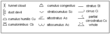
Cloud Symbols:
Weather symbols:
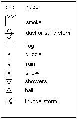
Cloud ID Chart:
Click to see the big picture
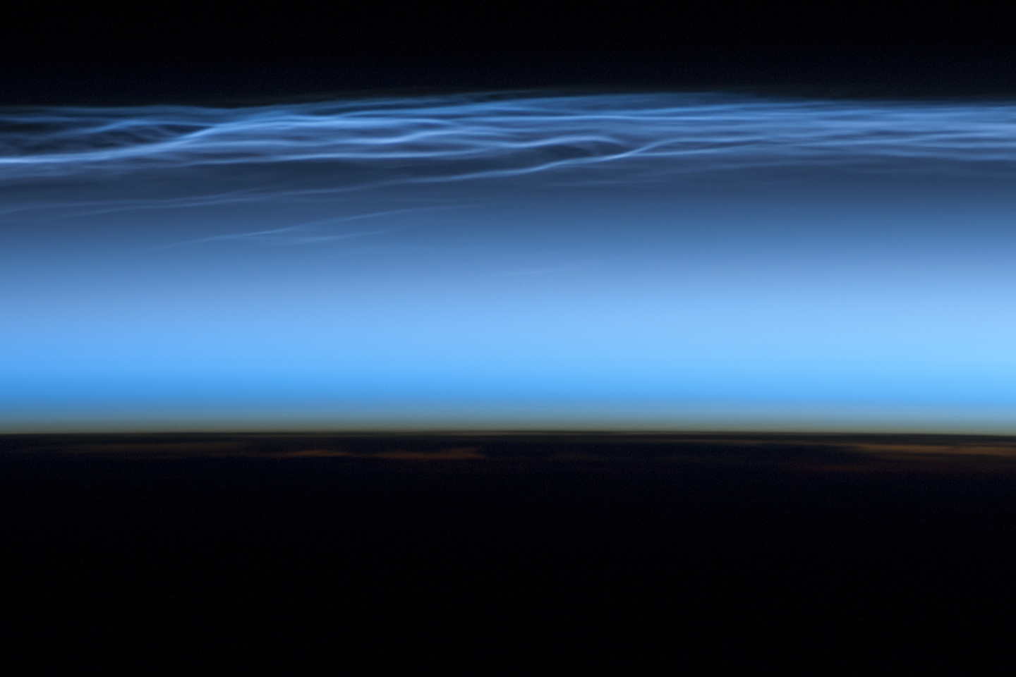
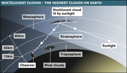
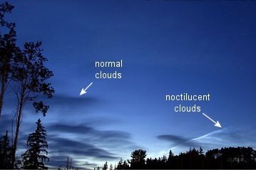
Noctilucent clouds
Noctilucent Clouds, also known as polar mesospheric clouds, occur mainly because of the following 3 elements:
- When theres enough moisture,
- When the temperature is right, i.e cool enough
- When there are Cloud Condensation Nuclei (CCN), aka aerosols, that act as collectors of condensation of water vapour, converting the water vapour into cloud droplets or cloud ice particles.
Noctilucent Clouds form between 76 to 85 kilometres (47 to 53 miles) above Earths surface when there is sufficient water vapor at these high altitudes to freeze into ice crystals. The clouds are illuminated by the Sun when it is just below the visible horizon, lending them their night-shining properties. In addition to the polar mesospheric clouds trending across the center of the image, lower layers of the atmosphere are also illuminated. The lowest layer of the atmosphere visible in this image the stratosphere is indicated by dim orange and red tones near the horizon.
While the exact cause for the formation of polar mesospheric clouds is still debateddust from meteors, global warming, and rocket exhaust have all been suggested as contributorsrecent research suggests that changes in atmospheric gas composition or temperature has caused the clouds to become brighter over time.
Noctilucent Clouds (NLC) displays are thought to be becoming more frequent, brighter and visible at lower latitudes. Human activities are said to be a possible contributing factor. The summer mesopause is getting colder, possibly because of the cooling effect of increased atmospheric carbon dioxide concentrations. Methane concentrations and mesosphere* humidity are also increasing. The AIM spacecraft was launched by the NASA in 2007 specifically to investigate NLCs, their formation and possible links to global climate.
* The mesosphere is the layer of the Earth's atmosphere that is directly above the stratosphere (itself situated between ± 1013 km (33,00043,000 ft; 6.28.1 mi) and 50 km (160,000 ft; 31 mi) altitude above the surface.
(Text and inspiration courtesy of The NASA, Atmospheric Optics, Weather Online and Wikipedia)
© Nicholas Richards 2004, revised 2015